Document detector fieldwork without depending on constant connectivity
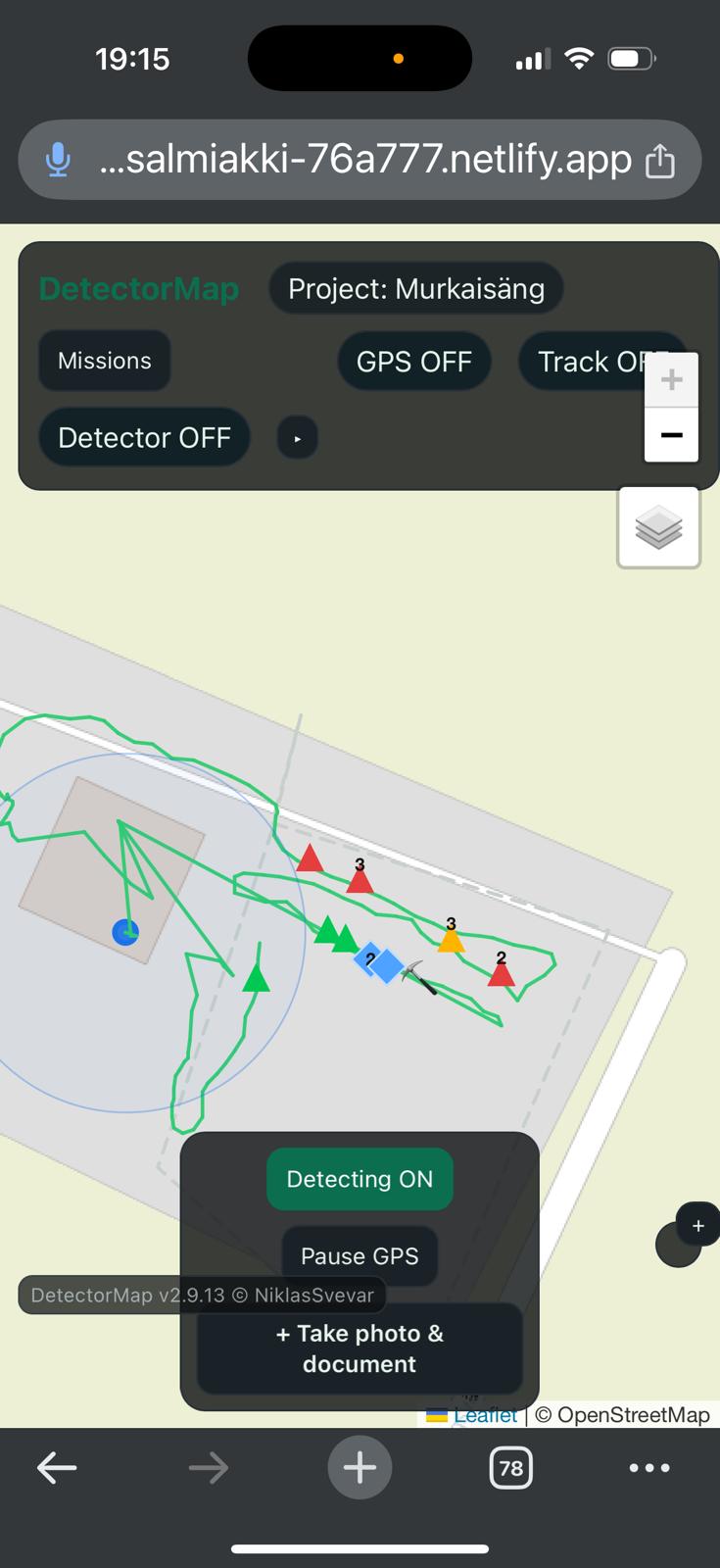
GeoDetectit is built around an offline-first and local-first workflow. That means you can document routes, finds, notes and photos in the field without making cloud dependence the center of the experience.
Why offline field documentation matters
Fieldwork does not always happen with stable connectivity. In many cases, the documentation workflow itself should not depend on cloud access at all.
- mobile coverage may be weak or inconsistent
- field notes need to be reliable immediately
- photos, finds and routes should stay together locally
- users may not want account-based lock-in
How GeoDetectit approaches it
GeoDetectit is designed so that the core workflow starts from the device and the user, not from the cloud.
- data is stored locally first
- missions, tracks and photos belong to your field workflow
- export remains available in open formats
- cloud can be optional later rather than mandatory now
Local-first storage
Keep the primary copy of your detector fieldwork on your own device.
Portable data
Export to GeoJSON, GPX, KML and ZIP for archive, GIS and future reuse.
Privacy-first model
Avoid making accounts and central storage the default requirement for using the tool.
More reliable in the field
Offline field documentation is not just about technology. It also affects trust. A field tool should remain useful even when the network is weak, missing or irrelevant to the task at hand.
Better for long-term ownership
When your detector fieldwork stays local first and exportable, it becomes easier to archive, review, migrate and analyse later without being trapped inside a closed platform.
Useful for detectorists who care about documentation
GeoDetectit is especially relevant for users who want a structured field workflow rather than just casual tracking. It supports the idea that routes, finds, photos, notes and field context should belong together and remain portable.